The Army Geographical Service, completing 132 years of operation, in the context of covering urgent needs of contemporary times, in the field of geo-information and geographical support, planned and implemented the following actions for the year 2020:
Social Contribution activity:
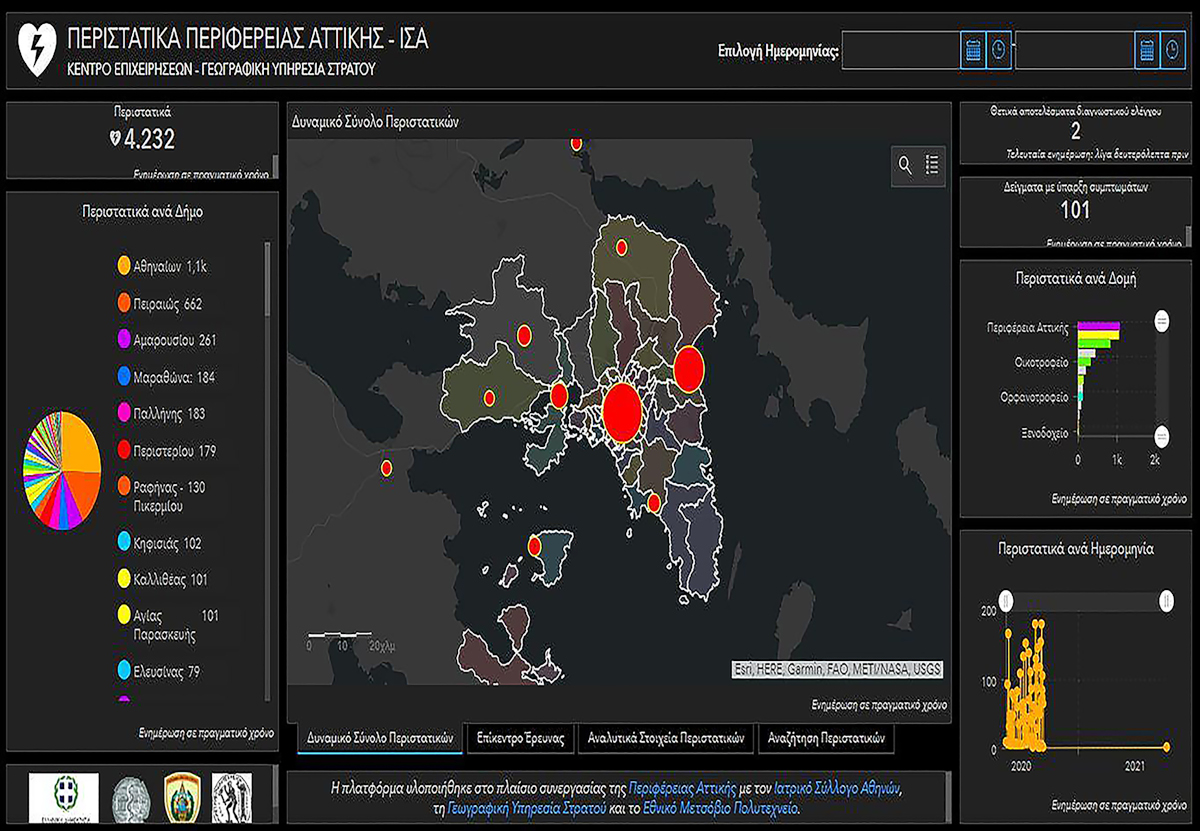
- Development of a geospatial system for recording and observing COVID-19 incidents, in cooperation with Athens Medical Association and Attica District.
- Reply to 8,933 applications of private and public sectors regarding geographical products.
- Development of a new website, with incorporated modern internet technologies and upgraded operations for public information, concerning matters related to the mission and responsibility of the Army Geographical Service.
- Creation, in cooperation with the Army History Directorate, of digital designs regarding historic battles, depicting them in two-dimensional and three- dimensional shape, aiming at their interactive presentation and study, both by the scientific community and the general public.
Synergy Actions in the Scientific Community and Research
- Cooperation with Universities, like the Agronomist and Topography Engineering Department of the Polytechnic School, and Thessaloniki Aristotle University, aiming at synergy regarding scientific research and innovation.
- Synergy with State Bodies and Services, like the Citizen Protection Ministry and the Foreign Affairs Ministry, concerning matters related to the mission and responsibility of the Army Geographical Service.
- Participation in a Working Group for the implementation of “ROBORDER” research program, in the context of the “HORIZON 2020” research and innovation European program, which aims at the development of an autonomous system regarding the surveillance of land and sea borders.
- Participation in International Programs regarding coproduction of vector map data (MGCP), of a digital terrain model (T-rex) and human geography data, as well as in committees, in the context of International Organisations (UN), NATO and the EU, as a national representative regarding Geographical Policy issues.
Development Actions of Geographical Applications
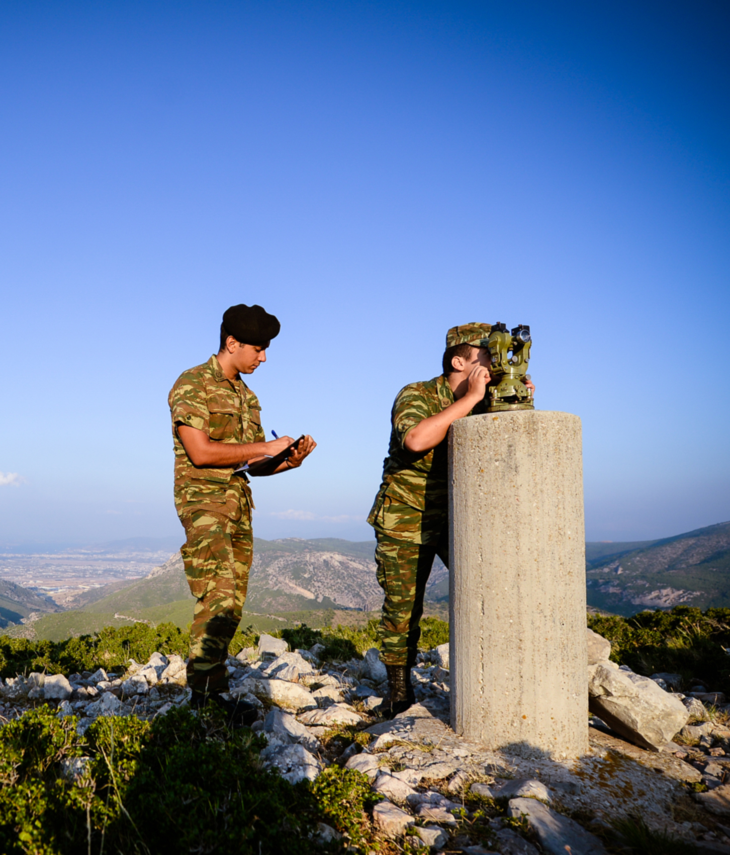
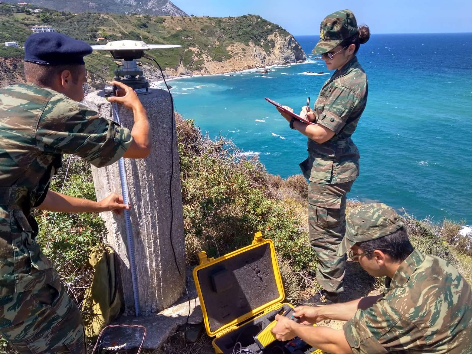
- Collection of geographical data, draft and revision of different scales maps for the entire Greek territory, with the exclusive use of Information Geographical Systems.
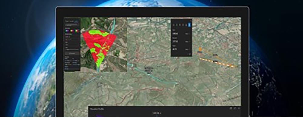
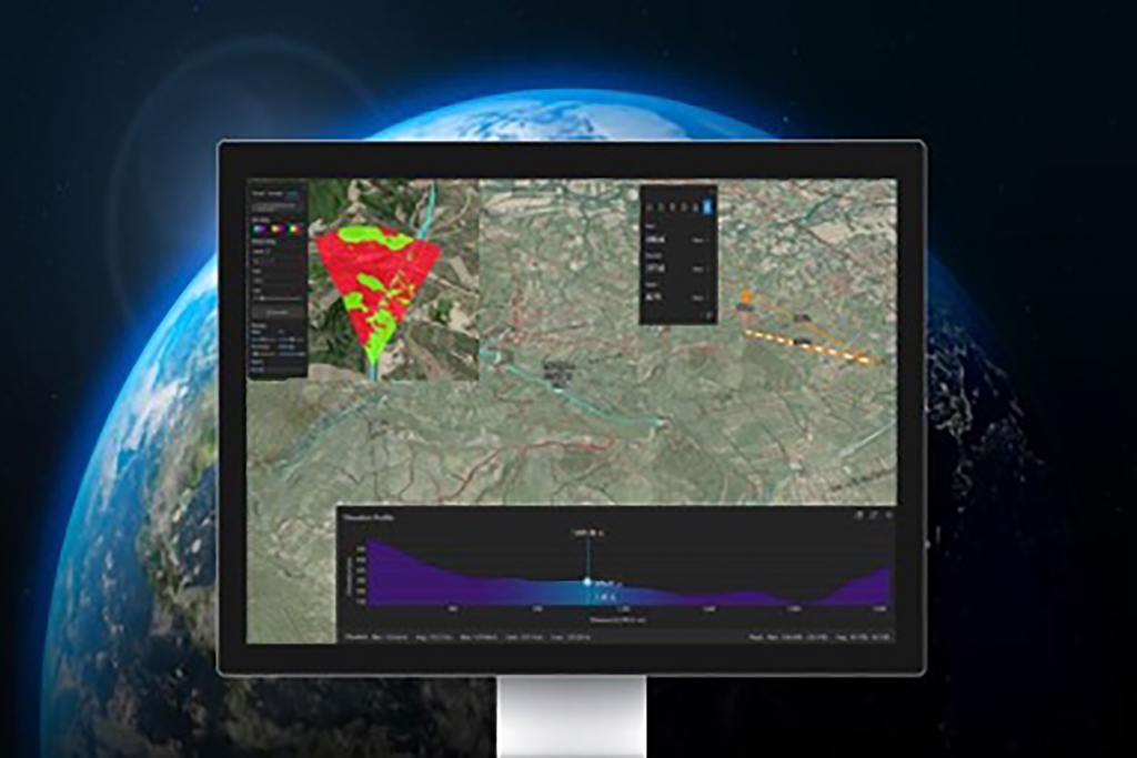
- Development of Geospatial Enhanced Reality Application.
- Development of a Geo-index application for the upgrade of services regarding search and order of geographical materials.
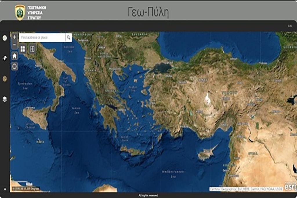
- Development of a Geo-portal and an application for calculating Geoid altitude, for the provision of unclassified geographical information to the academic scientific community, and the public.
#ΕλληνικόςΣτρατός, #HellenicArmy